
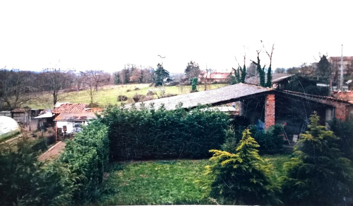
Archive photo of the former large barn (over 100 m², ≈ 5 m at the ridge), now gone.
At the end of the garden, on the registered plot — at the spot marked by the large cross, at the end of the garden —, there once stood a large barn of over 100 m² (about 5 m at the ridge). It is gone, but its footprint remains on the land registry. Today all that remains is a 19 m² outbuilding.
Given the rules of Zone UA (no restriction on ground coverage, height up to 7 m), this plot offers real potential to build or rebuild — which clearly sets it apart from ordinary non-building land.
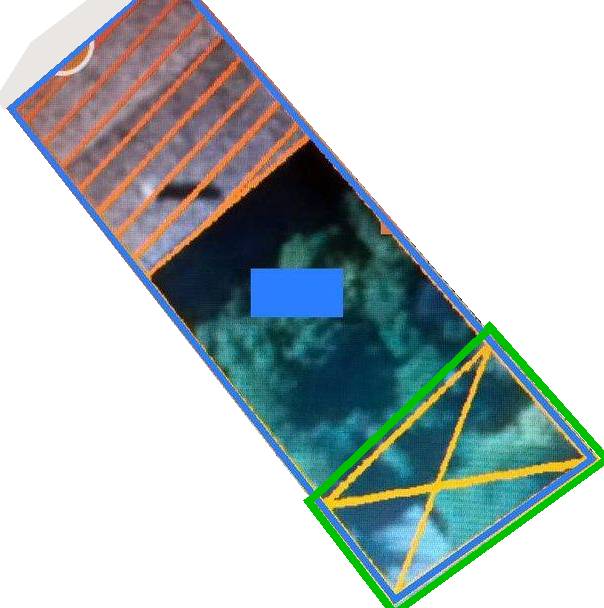
Aerial view of the plot (blue outline): the registered area of the former barn is outlined in green, at the end of the garden, at the spot marked by the large cross.
On it stands a buried concrete tank, covered by a concrete slab, with a capacity of 4,000 litres. Cleaned and sealed, it would make an ideal water tank — for watering a vegetable garden, for instance.
A 20-metre-deep old well sits towards the middle of the garden. It is currently made safe by a large, thick concrete slab, which need only be lifted to reopen it.
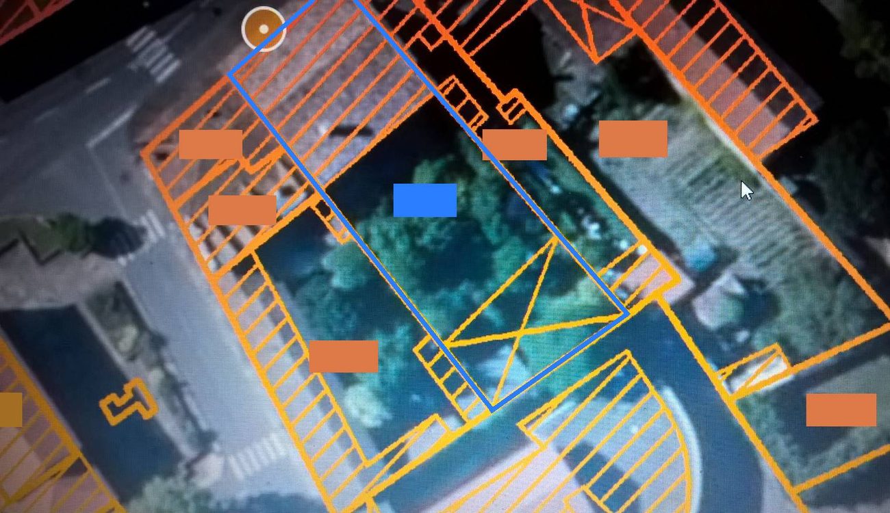
Land registry view: the plot is outlined in blue; the marker (small blue rectangle) sits in the middle of the garden. Neighbouring details have been hidden.